Preparing for alternates pays off!
August 12th, 2018 at 6:08 pm (Flying)
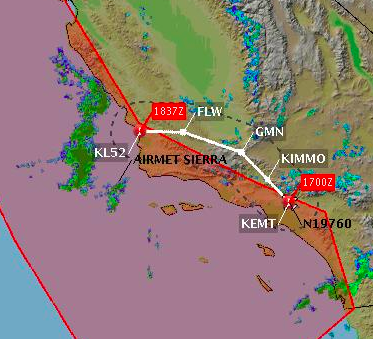 In June, I flew up the coast with my friend Sarah Elizabeth to visit the tiny Oceano (L52) airport, which is close to the ocean and also has good lunch options nearby. At that time, we were getting a lot of morning marine layer clouds over the coast, and after assessing the weather, I decided to fly an inland route to avoid the clouds (KEMT -> KIMMO -> GMN -> FLW -> L52). You can see my planned route, and the magenta polygon surrounding the coastal “airmet sierra” (cloudy) area, at right. Conditions were looking good after 11 a.m. for San Luis Obispo (KSBP) and Santa Maria (KSMX), which are directly to the north and south of L52 (which doesn’t have its own weather station). We took our time getting the plane ready to allow more time for the clouds to burn off and departed around 11:30 a.m.
[Picture by Sarah Elizabeth]
The inland route went very well. The airplane’s climb was lethargic because I was trying to keep cylinder head temperatures below 400F. It took 20 minutes to reach cruise altitude (8500′). However, it was smooth sunny sailing after that. In fact, it was clear the whole way until the very end.
As we got close to L52 at about 1 p.m., I could see a layer of clouds. That was vexing, since neighboring SBP and SMX were still reporting clear skies! A little bit of cloud was hanging RIGHT OVER the runway I wanted. Still, there was some hope. If the clouds were at least 2000′ above the ground, I could come in and land safely under them. So I kept descending in the clear area to the north of the cloud. Lower and lower… I got down to 1500′ and the clouds were STILL well below (and to the south of) us, so no go. I couldn’t believe it! We were just over a mile north of the runway, with clear skies, but the runway couldn’t be reached!

Clear to the right and beneath us, clouds to the left (where the runway is).
[Picture by Sarah Elizabeth]
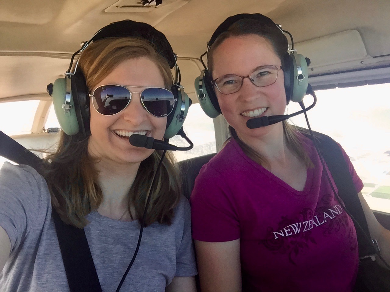
I powered up and climbed over the ocean to about 2000′, circling. I was very glad that I had alternate plans all ready to go. I had the runway diagrams for both SBP and SMX at hand. I decided to divert to SBP (San Luis Obispo), and Sarah Elizabeth and I smoothly and calmly handled the diversion (she was handling comms the whole flight). Diversions can be stressful because you quickly have to change your plans, navigation, radio frequencies, etc., all while maintaining good control of the airplane, watching for traffic, etc. But this one felt like a piece of cake because we had everything we needed ready to go. Having a co-pilot is a huge help, too!
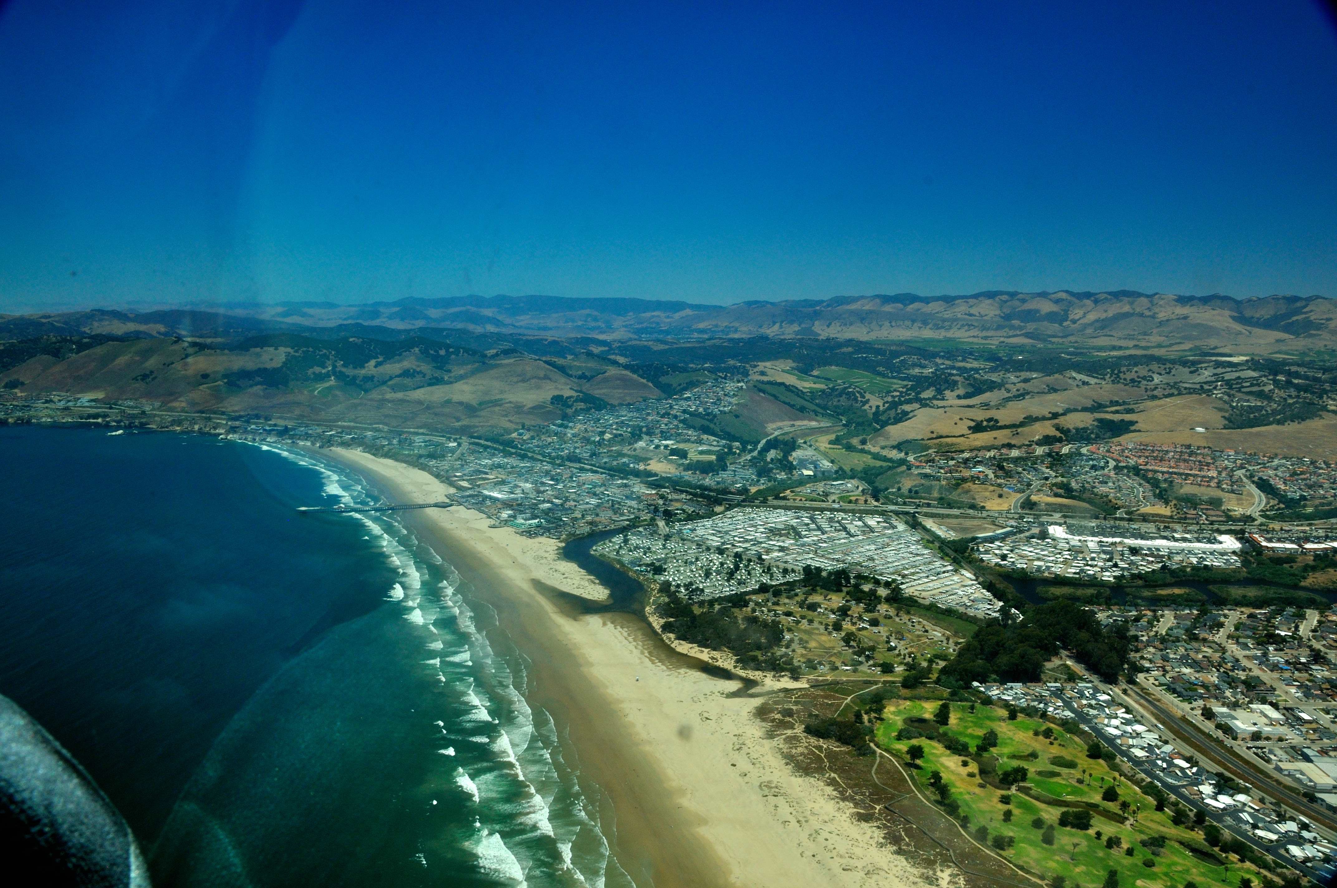
Beautiful coastline!
[Picture by Sarah Elizabeth]
After we landed at SBP, we found a very friendly FBO (Nice bathroom! Free ice cream! No landing fees!) and had a very tasty lunch at the Spirit of San Luis (ha!) restaurant. This flight also tipped me over 200 hours of flying experience! :)
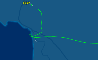
Here is my path, starting at EMT in the southeast and heading up to SBP in the northwest. You can see the kink where we tried to land at L52 but then had to divert to SBP.
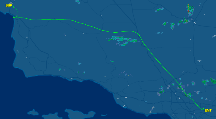
But look how close we got! L52 is the little white line just south of our track:
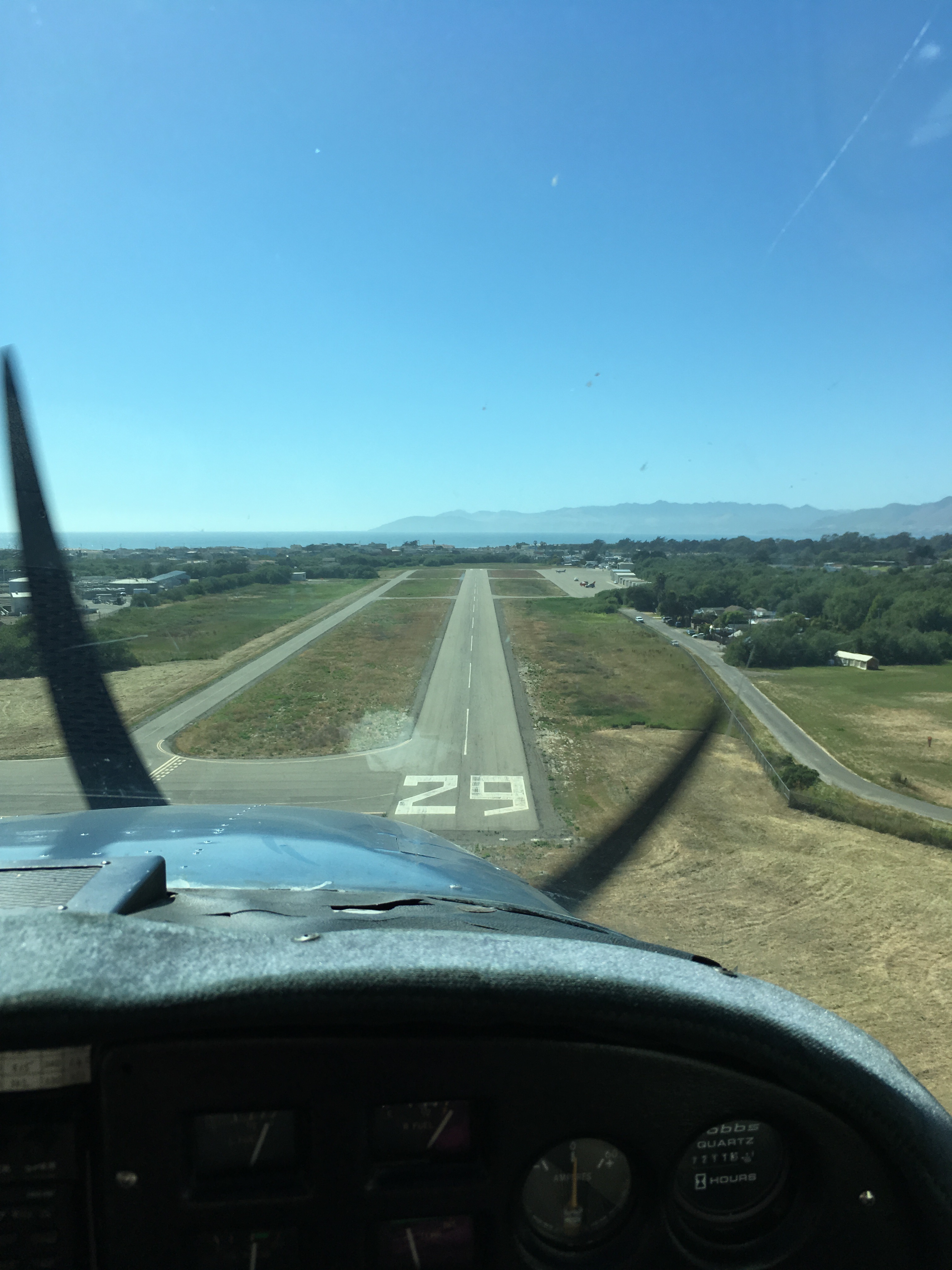 After lunch, we headed back with Sarah Elizabeth piloting and me handling comms. She did a nice loop around the KSBP pattern, and then we headed south. By this time, the clouds had cleared away from L52, so she got to land there! It’s a tiny little runway (2325′ long) and quite narrow (see picture at right).
As we taxied back to take off again, a huge heron flapped its way across in front of us. Wow! We flew south along the coast (since the clouds were more favorable) and got to see Santa Barbara, and then as we approached L.A., we saw a lot of cloud over the ocean that almost duplicated the coastline, which was cool. Then clear skies all the way inland to our home base at KEMT.