Edit: You can now watch a video of EVA 14 to Olympus Mons!

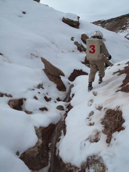
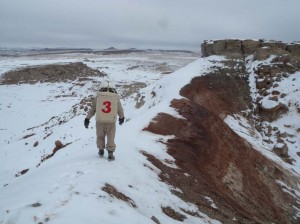
Kiri, Darrel, and Mike at the foot of Olympus Mons
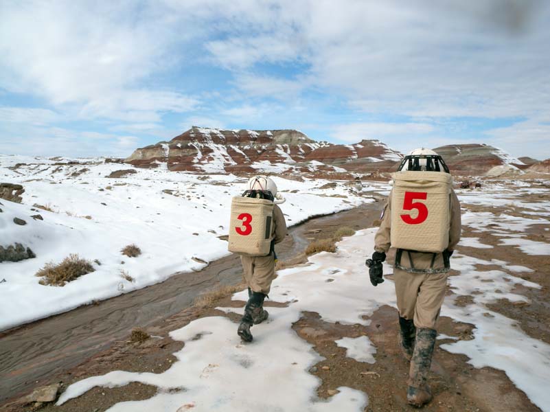
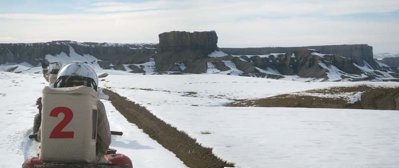
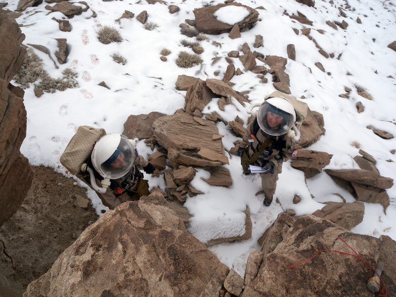
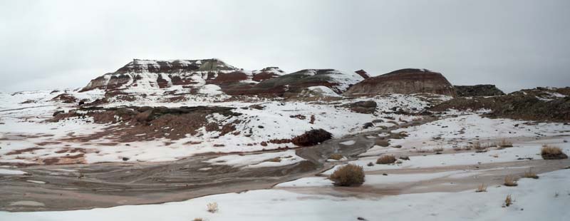
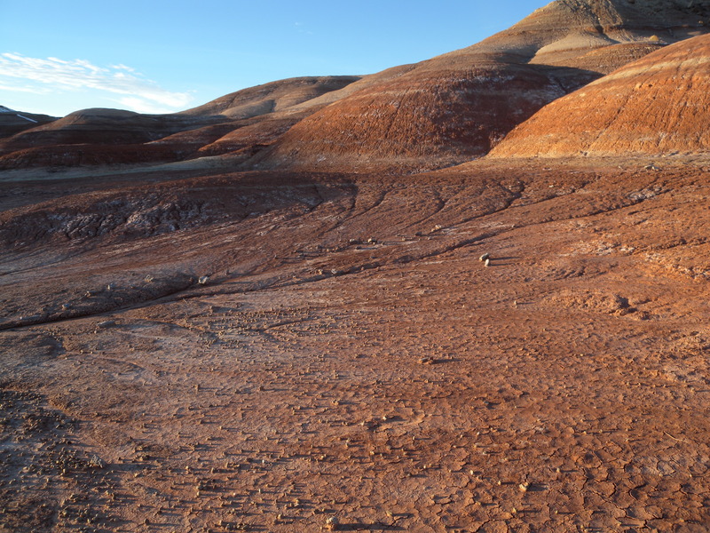
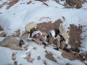
After breakfast, we suited up for an expedition to Olympus Mons. Darrel, Mike, and I had previously journeyed to the base of this striking natural feature, but we had had to turn back due to the limited time of our EVA. This time, we planned to ascend to the summit. We left the Hab at 12:41 p.m. and struck off north, squishing through soft snow into the dirt beneath. Olympus Mons rose before us in all its banded, colored glory. We reached the base and began our ascent. Reaching the first level stage up, we paused to take pictures (we could see the Hab clearly) and then began climbing up the steeper slope, digging our feet into the moist dirt to keep our balance. We determined that footing was best on the snowy patches. However, Carla’s knee starting giving her trouble, and she decided to remain behind on that level. We agreed to keep her in visual or radio contact for our ascent. In a real mission setting, I suspect that this would violate protocol, and we would instead leave someone with her so that no one was ever alone (buddy system!).
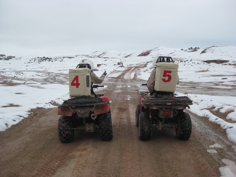
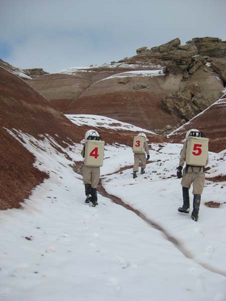
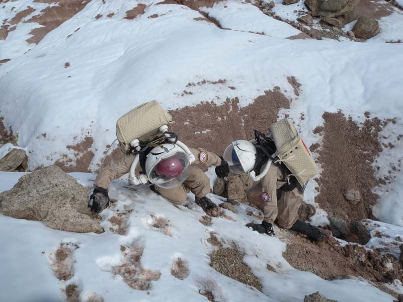
Darrel and Mike climbing towards the summit
Darrel crosses the ridge
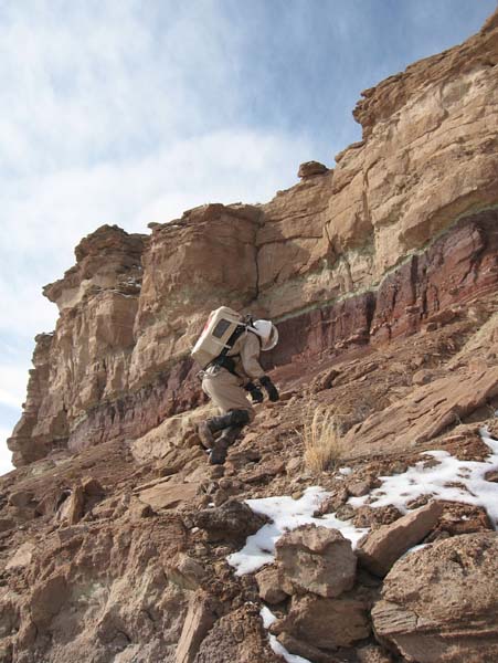
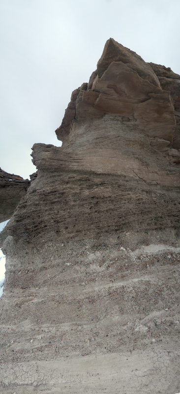
Darrel, Mike, and I continued upward, climbing over small rocks up a narrow gully. Already the geology was getting more interesting. We transitioned from the red, muddy Morrison layers into the stronger, paler Dakota capping layer. The Morrison formation, while visually arresting in its vivid watercolor paints, provides little in the way of interesting solid rock geology. But the Dakota is another story entirely! It is filled with a wide variety of different consolidated layers, some strongly differentiated in grain size and composition. I spied rock after rock with complex structures that practically shouted for me to sit down and study—view after view into the local history of flowing streams, pebble transport, and shifting watercourses. The final capping layer of Dakota sandstone was eroded in intriguing ways, a series of curves in and out shaped around the embedded pebbles.
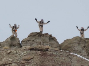
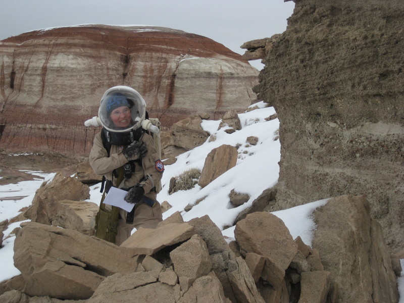
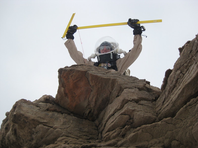
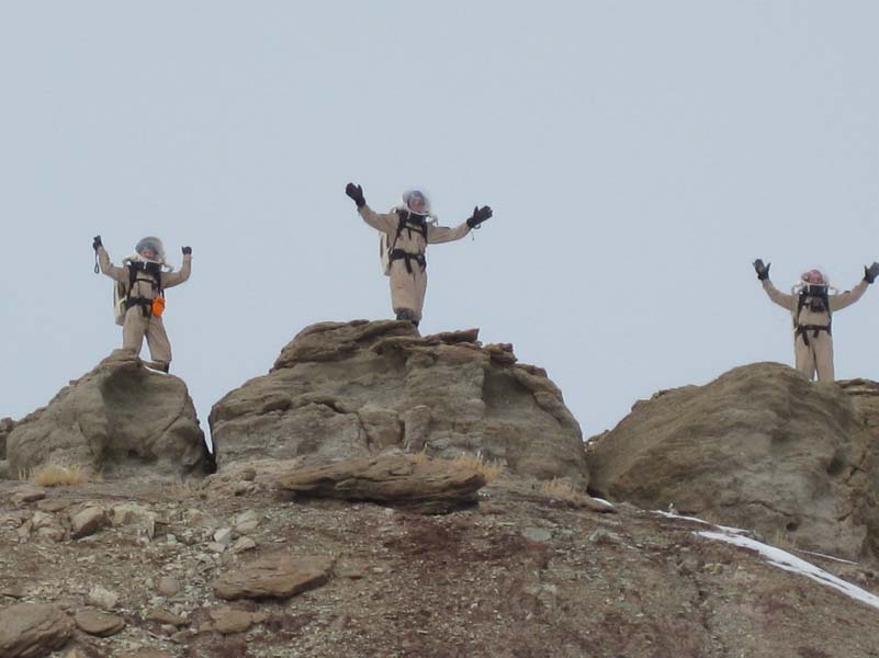
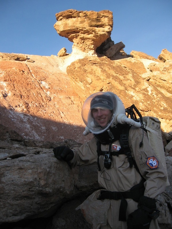
Kiri, Mike, and Darrel on the summit!
It was almost with reluctance that I finally climbed to the top of the ridge, reaching the summit but abandoning the really interesting stuff! But I was rewarded with an incredible view, both to the east across the lower hills and plains, and to the west, all the way to the soaring cliffs of Skyline Ridge. And as we tracked north along the summit of Olympus Mons, a new vista opened at our feet: more hills, cliffs, and all sorts of complexity spreading as far as the eye could see. (Can we claim
The Olympus Mountaineering Award now?)

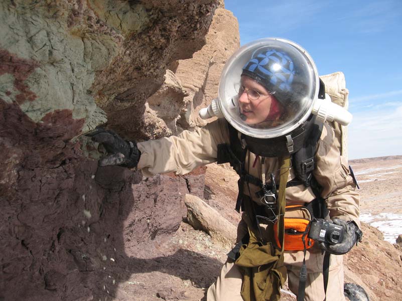
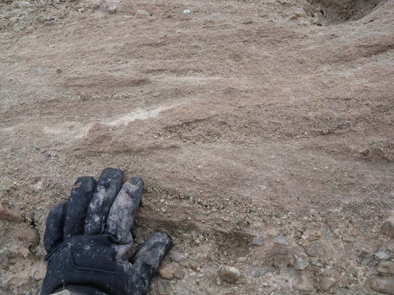
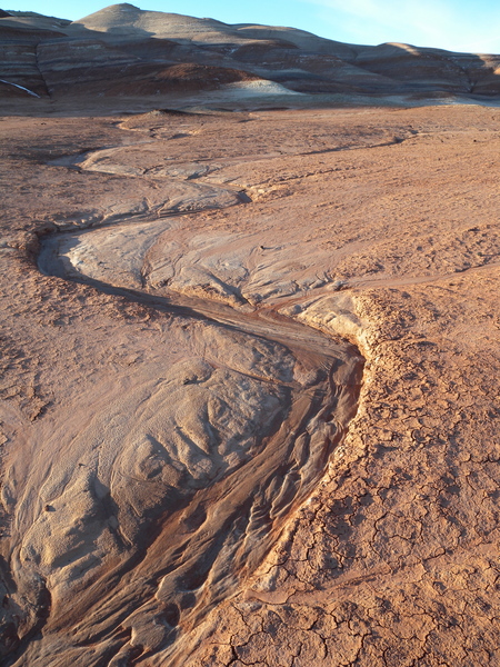
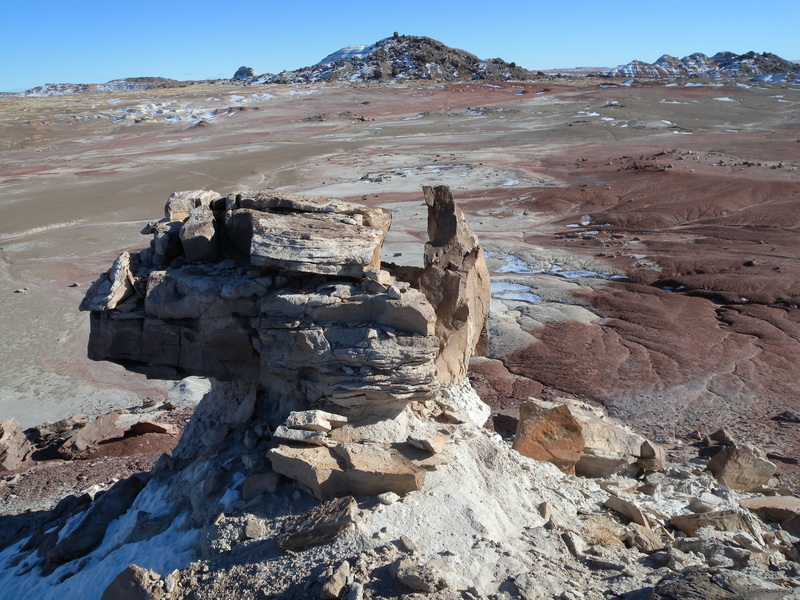
Cross-bedding in Dakota sandstone
With the summit of Olympus Mons under our belts, we were eager for more. We identified a saddle ridge that connected our current location to next segment of Olympus Mons to the east, and then carefully clambered down to it. We picked our way across the narrow ridge, mindful of the red mud slope to the right and the snowy slide to the left. And on the other side, as we came back up to the Dakota layer again, was a geological bonanza! We were treated to a huge outcrop of conglomerate layers mixed with fine-grained sandstone and, as I peered closer, snapping photo after photo, I found a gorgeous example of cross-bedding! I’d been hoping to find such exposures since my arrival, and here they were in spades! Beautiful!
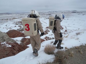
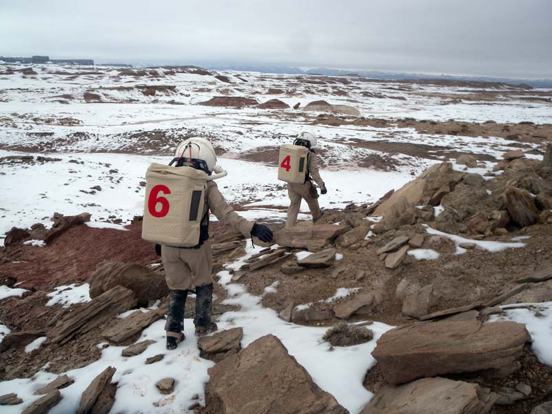
Darrel and Mike heading east
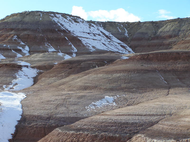
Darrel and Mike dragged me away back up onto the next ridge portion of Olympus Mons, and we followed it eastward. We walked out onto a couple of southward-jutting promontories before encountering a literally breathtaking sight: the hills to the northeast of Olympus Mons (Pavonis and Arsia Mons) were just stunning, banded in even more vivid reds and purples in their long, inclined slopes. Crowned with snow and splashed with white all down their sides, the contrast only made the colors more of a feast for the visual appetite. I stared out over the expanse of rich desert beauty, panting from exertion and only wishing I could throw off my suit and climb around in the dirt close up.
Mike on the promontory
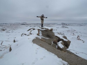
We traversed the ridge all the way to the east and snapped pictures of each other atop the final rocky promontory. By that point, we’d been out for an hour and decided to head back down, rejoin Carla, and return to the Hab. In addition to the dazzling array of rocks and vistas, we’d also seen quite a variety of different lichens: yellow, orange, blue-gray, and palest green. I radioed back to the Hab to ask if Luis, our Biologist, wanted us to try to collect some samples (despite not having any sample bags), but he suggested we skip it. This turned out to be a good idea later, when we needed all four limbs for our descent.

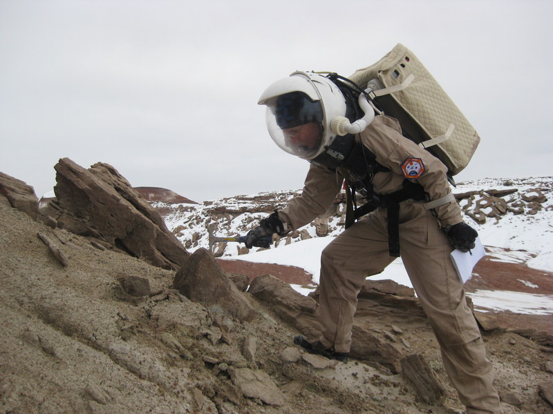
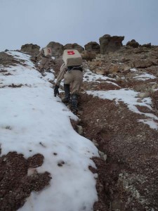
Darrel in the gully
We headed back west along Olympus Mons, seeking a gully to follow down that would not be too steep (or too muddy) for our use. These were all south-facing slopes, so they were lacking in snow and becoming progressively softer and muddier. We climbed down one level, then followed a twisting drainage gully whose sides steepened as we descended. We had to abandon walking on the patchy snow on the sides of the gully and get down into the wet course itself. We stepped carefully, bracing ourselves on the gully sides, continuing until we reached a dropoff. Here the water must some days pour in a waterfall over a 6 to 8-foot drop. There wasn’t enough flow today for such a sight, but it did present an obstacle to us. Darrel suggested rolling some rocks into the drop to build up enough of a pile to climb down onto—but having grown up in the Canyonlands area, I have a healthy aversion to getting “rimmed out” (descending to a point where you cannot go any further down, then realizing that you can’t get back up either!).
Darrel and Mike climbing out of the gully
“We shouldn’t go down anything we can’t get back up,” I suggested. Darrel instead found us a way up and over the hill forming the west side of the gully, which was tricky but doable; the final scramble up melting mud posed a brief delay and required some repeated attempts to overcome, but in the end we were victorious! By that point Carla could see us, and we could see her, and we took pictures back and forth as the three of us headed down the final slopes and rejoined her. We continued down to the plain and made the trek back to the Hab, staring into the silvery afternoon sun and pointing at the patches of blue sky that were appearing. The afternoon light grew and grew, lighting up the colors more and more, and I almost couldn’t bear going back into the Hab and leaving them behind; the desert only becomes more beautiful as the day lengthens and dies.
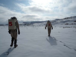
Back to the Hab
We trooped back in at 2:39 p.m., depressurized in the airlock, and then were pulling off our suits, laughing at our exhaustion and elation. We gathered upstairs to review the (somewhat ridiculous!) volumes of pictures and video we’d collected on the expedition. (You can
view the full EVA information, including a map.) Culling through those photos to select the best ones for sharing was quite time-consuming! Also, while listening to the radio data that was recorded while we were out, Mike discovered that he could hear our EVA radio chatter when we passed the radio telescope! Cool, even if it doesn’t amount to a scientific discovery. 🙂
We wrapped up the day with a Jazzercise session, an AlpineAir combo (Sierra Chicken and Pasta with Shrimp and Alfredo Sauce), and now there’s talk of a movie. I feel full to bursting not only with food, but with everything we’ve seen and everywhere we’ve been today. Goodnight!